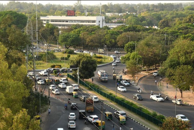
The way cities build and maintain their roads is
changing fast—and Chandigarh is showing the rest of India how it's done. By
combining Geographic Information Systems
(GIS) with Artificial Intelligence
(AI), the Union Territory (UT) is modernizing its approach to urban road
development, making it more efficient, data-driven, and transparent.
In 2025, the Chandigarh administration rolled out a pilot project using AI-powered video surveys and GIS mapping tools to assess road conditions. This system collects detailed visual data of roads and signage. AI algorithms then analyze this footage to identify issues such as potholes, cracks, and worn-out markings—saving time and improving accuracy compared to traditional inspections.
All the findings are being stored in a centralized road data bank, which contains past
surveys, maintenance records, and tender histories. This allows officials to
track the life cycle of each road segment, prioritize repairs, and plan budgets
more effectively. Initially, the project focused on roads recently handed over
to the UT administration, but its success has already led to discussions about
scaling it across the city.
Earlier efforts by the Municipal Corporation also
included surveying nearly 200 km of city roads using similar technology. These
initiatives mark a major shift toward smarter, evidence-based urban
infrastructure management.
Chandigarh is not alone. Across India, cities are
beginning to use similar technologies to improve road infrastructure:
●
Chennai: The city is using
platforms developed by Bengaluru-based startup RoadMetrics to survey and
monitor hundreds of kilometers of roads. The software can detect over 10 types
of defects—including cracks, faded signs, and potholes—with impressive
accuracy. This helps city officials plan maintenance before problems worsen.
●
Bhubaneswar: The city is expanding its
smart traffic signal system, which uses AI to adjust signal timings in
real-time based on current traffic conditions. It even allows emergency
vehicles to pass quickly by changing signals as needed.
●
Delhi (Dwarka Expressway): The country’s first
AI-based traffic management system is now active on this key corridor. It
monitors a 56.5 km stretch and detects 14 types of traffic violations
automatically, from speeding to lane-cutting.
●
Nagpur: Authorities have begun
rolling out AI-based smart speed radars and automated number plate recognition
(ANPR) systems to improve traffic regulation and road safety.
●
Open-Source Innovation: Researchers recently
launched a low-cost tool called iWatchRoad
that uses dashcam footage to detect and map potholes in real time. This
open-source model could benefit smaller towns with limited budgets.
The adoption of AI and GIS in urban road development
isn't just about tech—it's about better governance and safer, more reliable
infrastructure. These tools reduce dependence on manual inspections, cut down
on human error, and help officials allocate resources where they’re truly
needed.
What’s especially promising is the scalability.
Whether it’s a major city like Chennai or a smaller UT like Chandigarh, these
solutions can be adapted to local needs and budgets.
As Chandigarh continues to refine its pilot project,
the next step will be full-scale implementation and integration with other
civic services. If successful, this model could become a blueprint for cities
across India aiming to make their infrastructure smarter, more sustainable, and
future-ready.